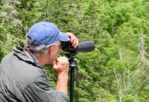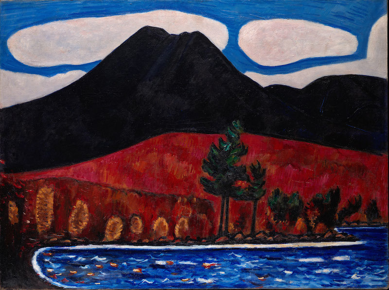
Artist Marsden Hartley captured the magic and beauty of Maine’s Katahdin Woods & Waters region decades before it was even under consideration as a national monument. When I look at his paintings depicting Katahdin or a brawny lumberjack or flowing water or jumbled logs, I see the same images that I’ve experienced when traveling in this region.
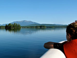
Beyond earning recognition as The Painter from Maine, artist Marsden Hartley also strove to serve as Katahdin’s “official portrait painter.” Between 1937, when he made an eight-day pilgrimage to Maine’s tallest peak, and his death in 1943, Hartley made more than a dozen paintings of Katahdin.
Pair a visit to Marsden Hartley’s Maine, on view at Colby College Museum of Art in Waterville through Nov. 12, 2018, with one to Baxter State Park and the new Katahdin Woods and Waters National Monument in the Maine Highlands region. While the river drivers are long gone, you can experience the era in ways similar to Hartley.
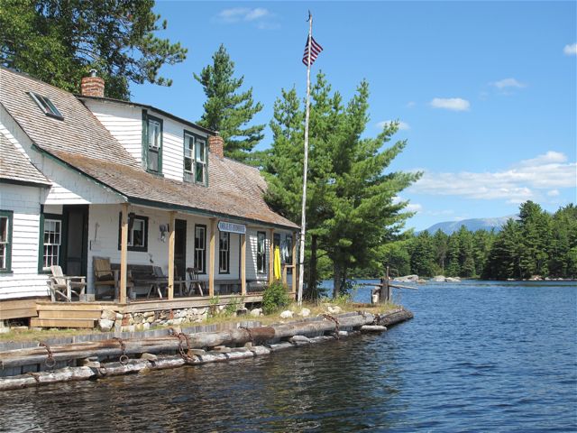
Visit the Ambajejus Boom House
The last log drive on the West Branch of the Penobscot occurred in 1979. For a vision of that era, visit the Ambajejus Boom House (donation appreciated), a property on Ambajejus Lake that is listed on the National Register of Historic Places.
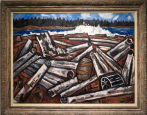
The boom house, erected here in 1906, was used as a rest stop for 65 years by rugged river drivers, lumbermen who “boomed out” (collected with immense chains) and actually rode logs downstream to the sawmills. Chuck Harris, a onetime river driver who is often on-site, made the meticulous restoration of the once-derelict house a personal project. It’s filled with incredible lumbering-era artifacts.
Here’s the rub: The only access is via boat or snowmobile. You can arrange a cruise or canoe rental through the Big Moose Inn (provide at least 48 hours notice for a cruise) or a canoe rental or guided trip with New England Outdoor Center or do it yourself.
If you go on your own, launch your boat in Spencer Cove on the west side of the Golden Road, and paddle or motor out and around to the right, to the head of the lake. Stay close to shore, as the wind can pick up unexpectedly.
Raft the Penobscot River
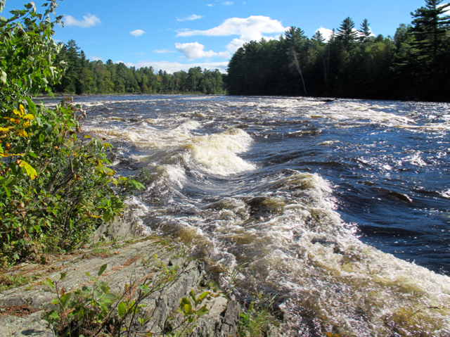
One fine and fun way to experience the area is on a whitewater rafting trip down the West Branch of the Penobscot River. One-day Penobscot River rafting trips pass through Ripogenous Gorge, a rip-roaring chasm of roiling Class IV and V white water, over nine-foot Nesoudnehunk Falls, through a few other Class IV rapids and a few ponds, all in the shadow of Katahdin. It’s a fabulous adventure, and a riverside lunch is included.
Book a trip with the New England Outdoor Center, based in updated and renovated historical sporting camp on Millinocket Lake with gorgeous Katahdin views.
Hike Katahdin
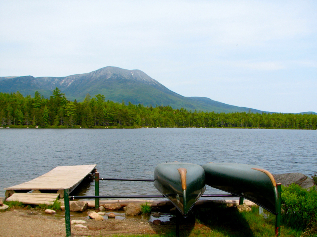
Mile-high Katahdin, northern terminus of the Appalachian Trail, is the Holy Grail for most Baxter State Park hikers—and certainly for Appalachian Trail through-hikers, who have walked 2,158 miles from Springer Mountain, Georgia, to get here.
Katahdin comprises a single high point (Baxter Peak, 5,267 feet) and several neighboring peaks (Pamola Peak, 4,902 feet; Hamlin Peak, 4,756 feet; and the three Howe Peaks, 4,612-4,734 feet).
Thousands of hikers scale Katahdin annually via several different routes. The climb is strenuous, requires a very full day, and is not suitable for small children; kids under age 6 are banned above the tree line. You’ll be a lot happier and a lot less exhausted if you plan to camp in the park before and after the Katahdin hike. Cut-off time for most trails ascending Katahdin is noon.
Of course, there are plenty of other options: Baxter offers more than 200 miles of trails with options for all abilities, from nature walks to the big kahoona.
Katahdin Woods and Waters
A gift to the nation by conservationist and philanthropist Roxanne Quimby in 2016, the rugged and remote Katahdin Woods & Waters National Monument is a work in progress. Sited west of Route 11 and east of Baxter State Park, in the Unorganized Territories north of Millinocket and south of Patten, the monument is remote and without many services, with access via dirt road woods roads that best suited for vehicles with high ground clearance. This, of course, will change as the National Park Service develops infrastructure.
Woodlands, wetlands, free-flowing waterways, and rolling mountains pepper the 87,654-acre outdoor playground. Highlights include the East Branch of the Penobscot River, hiking trails in eastern Katahdin foothills, spectacular views of Katahdin, and the biodiversity and geology of the Maine Woods.
Culturally, the lands are important to the Penobscot Indian National, recall the era of lumbermen and river drivers, and have ties to Henry David Thoreau, John James Audubon, and Theodore Roosevelt.
Outdoor enthusiasts can hike, fish, camp, paddle, ski, snowshoe, watch wildlife, and star gaze here, although facilities are primitive at best.
Drive the byway
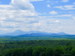
One of the easiest ways to get a sense of the monument is via the 89-mile Katahdin Woods & Waters Scenic Byway. The route winds between Millinocket and Patten, following the Baxter State Park Road and Routes 11 and 159, offering views of Maine’s highest peak and taking in museums and sights en route. A map-brochure, detailing the byway and sights and services along it, can be picked up locally or downloaded from www.exploremaine.org.
Here’s my recommended detour from the byway: On a clear day, detour west off Route 11 on the Happy Corner Road, about two miles south of downtown Patten, follow it about two miles to the Frenchville Road, on your right, and take that (gravel in sections) north to a T intersection and bear right on the Waters Road, which will connect with Route 159, turn right to return to Route 11 and Patten. The biggest rewards for this loop are the panoramic views of Katahdin from the Happy Corner Road; the rest is a delightful country byway, with some nice ridge views east from the Frenchville Road. It’s simply gorgeous in autumn.
**By the way, if you want to view works depicting this region by contemporary artists, visit the North Light Gallery in downtown Millinocket.
Also in this series:
• Marsden Hartley’s Maine: The view from Corea
• Marsden Hartley’s Maine: Must see at Colby College Museum of Art


